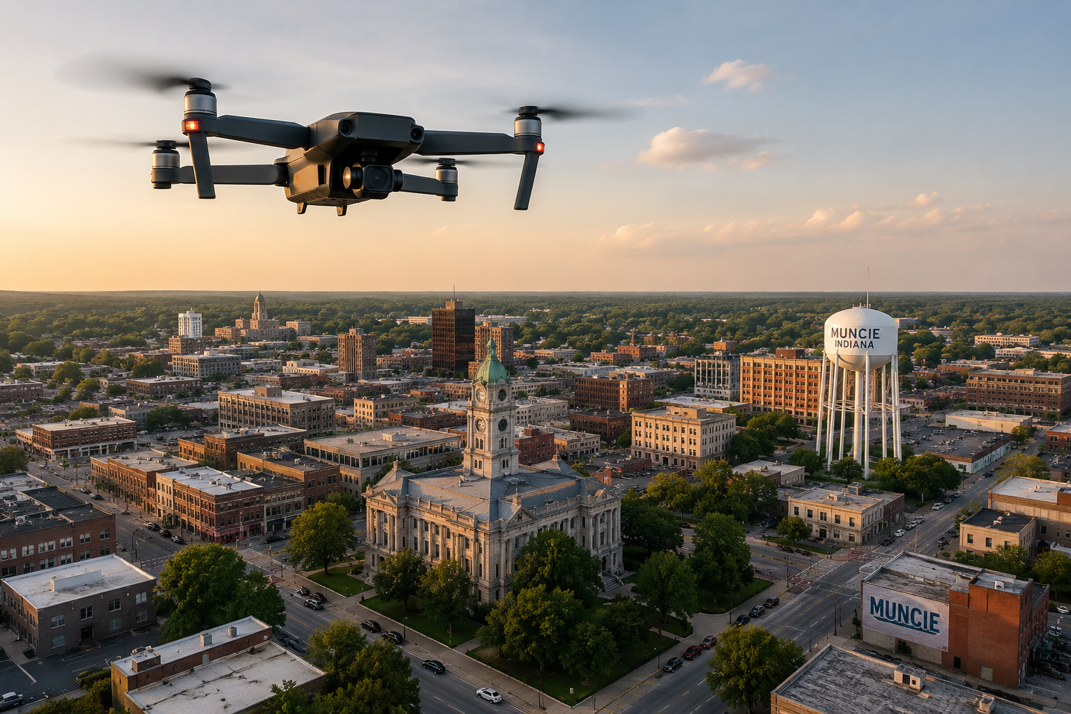
Flock 3.0: From Hidden License Plate Readers to Eyes in the Muncie Sky
The Muncie Police Department’s quiet pivot from stationary license plate readers to autonomous airborne surveillance hit a wall at the March City Council meeting. Resolution 4-26, which proposed a five-year interlocal agreement with Delaware County to build a municipal drone base atop the Delaware County Building at 100 W. Main St., was tabled in a 6-3 vote after public pushback over missing costs and liability risks.
The council’s hesitation exposed a growing divide between police leadership’s enthusiasm for automated surveillance and the public’s demand for basic operational accountability.
The “Public Transparency Portal” Illusion
Flock Safety routinely touts its public-facing transparency portals as proof that its automated license plate readers (ALPRs) operate ethically. Yet in Muncie, local attempts to verify how MPD utilizes this technology have met a wall of institutional deflection.
When members of the public tried to examine MPD’s local Flock operations, they discovered no active public portal available to audit basic usage statistics or data-sharing policies. Formal public records requests for this surveillance data were outright denied by local officials, forcing community members to file an official complaint with the Indiana Public Access Counselor (PAC) in Indianapolis to challenge MPD’s non-compliance with state access laws.
This track record makes Section 17 of Resolution 4-26 particularly ironic. The proposed agreement explicitly states:
“Public Records. All operations of the drone base shall be subject to state and federal public records laws. The City shall be responsible for the storing, administration, and handling of requests for all drone records and footage.”
Promising on paper that drone operations will be subject to state public records laws means very little when the department’s practical response to public records requests on ground-based surveillance is outright denial. If local law enforcement routinely obstructs public oversight on basic license plate cameras, taxpayers have no reason to believe the city will honor public records laws when managing continuous aerial video feeds.
The $5,000 Fiction vs. The Five-Year Blank Check
When questioned by council members about the financial scope of Resolution 4-26, Police Chief Nathan Sloan downplayed the project, offering a casual estimate of “under $5,000” and noting that MPD had already been utilizing drones for “8 to 10 years.”
However, the text of Resolution 4-26 tells a very different story:
- 100% City Liability: Under Section 1 of the interlocal agreement, Delaware County assumes “no financial obligation,” leaving Muncie taxpayers to absorb 100% of all costs—including roof installation, electrical utility buildout, continuous metering, long-term maintenance, and legal defense/indemnification against future lawsuits.
- Blank-Check Contracts: The actual resolution filed with the City Clerk contained zero specific line-item costs, subscription fees, or vendor hardware quotes.
- Regulatory Gateway: Chief Sloan was forced to seek council approval not because of a $5,000 price tag, but because Indiana law (IC 36-1-7) strictly mandates legislative consent for intergovernmental property usage and long-term municipal liability commitments.
Conflating Manual Quadcopters with AI Autonomous Bases
Chief Sloan’s attempt to normalize the proposal by citing nearly a decade of local drone use glosses over a massive technological shift.
For the past decade, law enforcement drone usage under FAA Part 107 rules meant a human officer stood in a field holding a remote control, keeping visual line-of-sight to photograph a fatal crash scene or barricade. What Resolution 4-26 actually lays the groundwork for is an automated Drone as First Responder (DFR) system.
Rather than manual quadcopters, national surveillance vendors—most notably Flock Safety and Axon—are selling autonomous “drone-in-a-box” rooftop nests. Guided by AI software, these units launch automatically when triggered by a 911 call or a Flock ALPR camera alert. Under Beyond Visual Line of Sight (BVLOS) waivers granted by the FAA, an operator miles away—or an automated algorithm—can pilot the craft over urban blocks, tracking targeted vehicles or individuals in real time.
The Surveillance Loop: From LPRs to Aerial Stalking
Connecting stationary Flock camera networks with autonomous rooftop drones creates an unbroken, automated surveillance apparatus. If an ALPR camera flags a vehicle downtown, an AI-driven drone can immediately deploy from the County Building roof to follow that vehicle across town, zooming in through second-story apartment windows or recording daily routines from above.
Public resistance to automated surveillance is mounting nationwide over documented abuses, lack of warrants, and digital stalking risks. Allowing municipal law enforcement to deploy automated, AI-guided flight infrastructure without concrete financial figures, strict flight-logging requirements, or basic public records compliance isn’t just poor fiscal governance—it hands over the city’s airspace to unmonitored tech vendors.
Resolution 4-26 remains tabled and is set to expire this September. If city leaders attempt to revive it, taxpayers deserve full transparency, explicit cost breakdowns, and strict civil liberties protections—not assurances that an autonomous drone hub is just business as usual.